Introducing the definitive HEMAV app, designed to empower you with seamless field monitoring directly from your mobile device. This innovative tool harnesses the power of HEMAV LAYERS, combining Artificial Intelligence with cutting-edge drone and satellite technology to deliver comprehensive agronomic reports and tailored recommendations.
With the HEMAV app, you can:
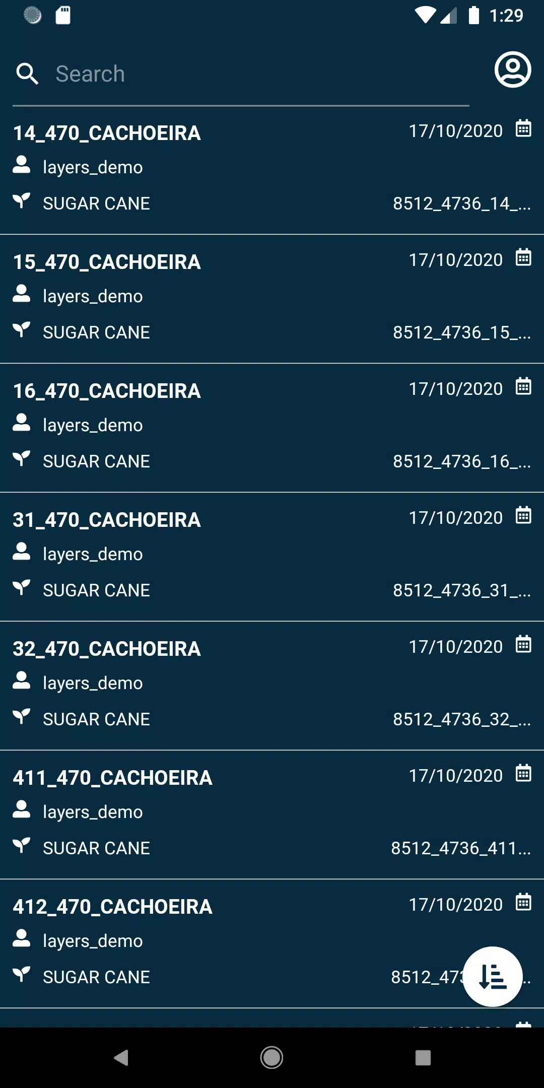
- View your fields with ease and precision.
- Utilize a variety of filters to search and pinpoint specific fields quickly.
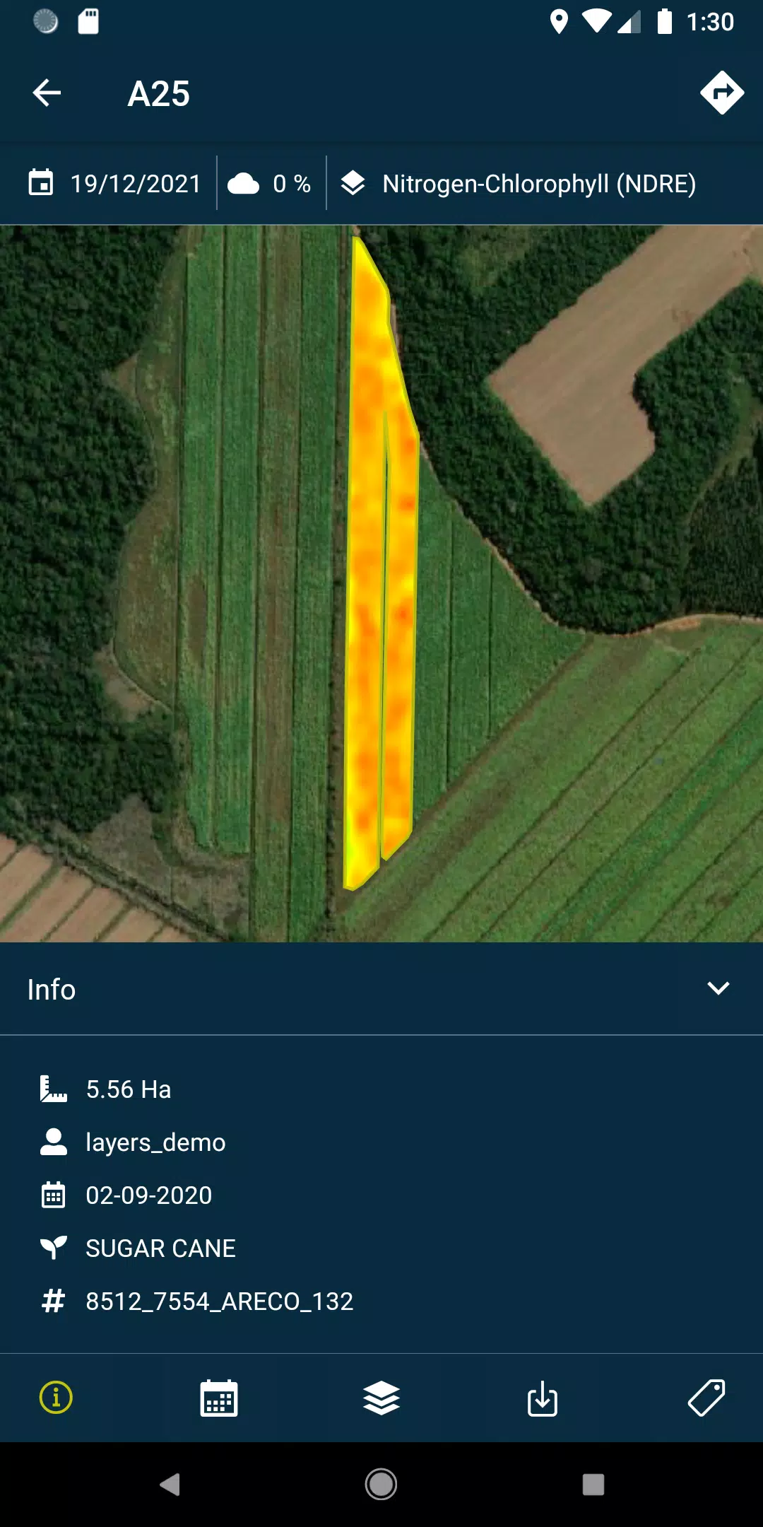
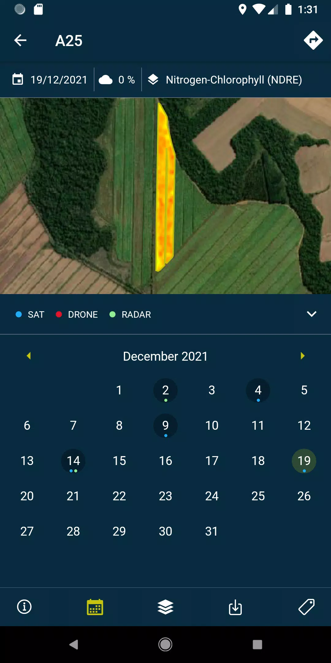
- Access layers of detailed reports and recommendations, as well as PDF documents generated from each drone flight or satellite pass, available both online and offline for uninterrupted access.
- Capture and geolocate field photos, adding comments to maintain thorough oversight of your agricultural operations.
- Conduct field surveys and seamlessly integrate them into the HEMAV system for further processing and analysis.
To unlock the full potential of the HEMAV app, a subscription to HEMAV's suite of products is required.
About HEMAV Precision Agriculture Service
HEMAV's LAYERS software leverages advanced artificial intelligence to provide the agricultural sector with precise agronomic recommendations. These insights help optimize treatment applications and generate accurate crop production estimates, ensuring both quantity and quality in your harvests.
What's New in Version 2.8.5
Last updated on Oct 19, 2024, this version includes:
- Bug fixes for pending sample uploads.
- Enhanced cloud coverage filtering for more accurate data analysis.
Tags : Productivity